Directions to Niles High School (1441 Eagle St Niles, MI 49210)
The route shown below avoids construction on I-94 and involves fewer turns, but if it's easier for you to get onto I-94 than US-131 (which also has construction), take I-94 west to exit 56, then take M-51 south through Decatur and Dowagiac (click for map). The M-51 route is 2 miles shorter from the high school and 5 minutes faster if there are no construction delays on I-94. But if it's easier for you to get on US-131 at Center/Q, the M-60 route is better (see below).
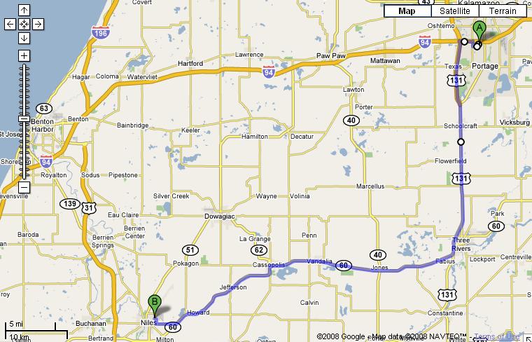
1. Take US-131 south 20 miles toward Three Rivers (NOTE: I-94/US-131 interchange may not be open from westbound 94 to southbound 131, so get on US-131 at Centre/Q).
2. As you're by-passing Three Rivers, bear right where M-60 west (Niles) veers to the right
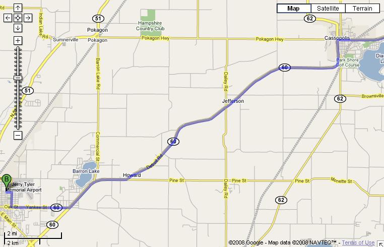
3. Continue on M-60 about 19 miles to Cassopolis where you will have to turn left on Broadway to stay on M-60 (and M-62).
4. Continue south and west on M-60 about 12 miles to Yankee St / Oak St (M-60 BR) in Niles and turn right..
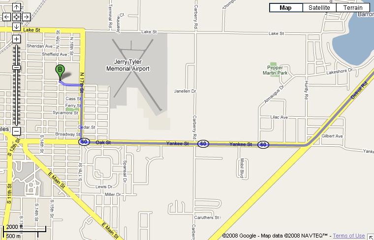
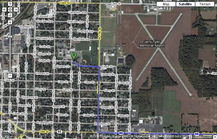
5. Continue west on Yankee St. about 2 miles to 17th Street and turn right.
6. Continue north a half mile or so to Eagle Street and turn left.
7. The school is on the north side of Eagle.
Distance from PNHS 58 miles (estimated driving time 1 hr 14 minutes).
click on any map below to open a GoogleMaps map that you
can zoom and pan around on